Civil Government
Example Applications:
» Mapping
» Natural resource management
» Urban planning
» Emergency response
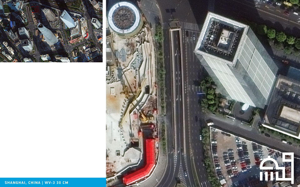
Sub-half-meter imagery provides more accurate
feature detection and identification, allowing you to
detect smaller features and identify them more
accurately. This will aid you in more accurate and
automated land use/land cover mapping, and provide
improved change monitoring identifying
smaller changes.
Explore solutions for your business